MONO LAKE - YOSEMITE NP

SUMMER 2022

Mono Lake

Anyone who has seen Polanski's Chinatown knows about the Los Angeles "water wars," the far from noble effort to secure water rights in the Owens valley and build the Los Angeles Aqueduct. Not as well known is that after draining Owens Lake completely dry, the Los Angeles Department of Water and Power (LADWP) moved farther north and secured the water rights to the streams that feed Mono Lake.

Mono Lake was headed for the same fate as Owens Lake when the Mono Lake Committee was formed in 1978 and began the legal fight to save it. We are contributors to the Committee and took a tour of the diversion projects that LADWP built and heard an account of the mitigation efforts that have been instituted. It's a fascinating story even if it isn't quite as dramatic as Chinatown.

It's commonly acknowledged--even by Angelenos--that the Department of Water and Power is just plain evil, but no one can deny that the aqueduct project is a brilliant piece of engineering. From the diversion dam on Lee Vining Creek just outside of Yosemite National Park, it's said that the water flows south to Los Angeles by gravity alone without the need for any pumps. In fact, the only pump in use in the system is at Grant Lake and was added as part of the legal agreement to send water from the reservoir down to Mono Lake (even though the Return Ditch is a far from ideal method).


Return Ditch

Our tour was primarily on Aqueduct Road, a dirt road that is literally on top of the aqueduct which is totally underground in this northern section. We viewed the intricate construction projects that now control the flow of water in those places where it actually leaves the natural streams and enters the aqueduct.

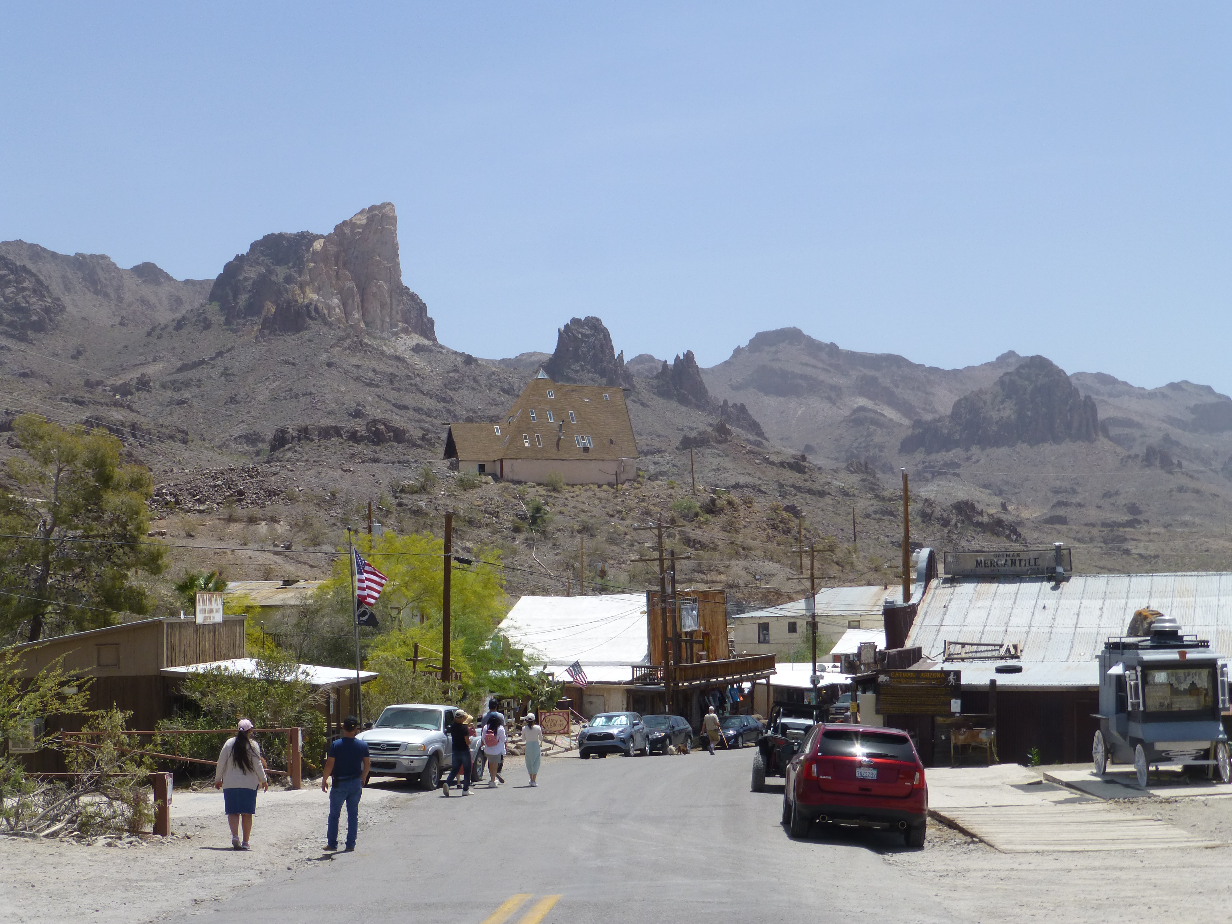
View of Mono Lake from Aqueduct Road on Williams Butte


Diversion Dam

The legal agreement now sets a minimum level for Mono Lake and limits the amount of water that can be exported to Los Angeles so these control dams are vitally important. Unfortunately, despite these efforts, the continuing drought conditions mean that the lake level continues to fall.

* * * *

Yosemite National Park

Obligatory Photo of Half Dome

Our last visit to Yosemite Valley and Wawona was ten years ago and things have changed a lot since then especially at the Mariposa Grove of giant redwoods. In 2016, access to the grove was changed to better protect the trees from the increasing number of visitors. A welcome center was built with bus access to the grove and a raised walkway was built to allow for a more natural setting for the trees.


Mariposa Grove Walkway

Following last year's devastating fires in Sequoia National Park, Mariposa Grove suffered its own fire earlier this year and was only opened to the public recently. The damage was obvious in the burnt-out pine stands and the charred sequoias.


Fire Damage 2022

One change at the park that was a little unsettling was the addition of signs installed on the entrance roads that inform that the wait to enter the park from those points was 60 or 90 minutes. I don't know exactly when these were put in place but we had one of the new Entrance Reservations and didn't have much of a delay and easily found parking spaces unlike during our last visit. I'm convinced that Covid-19 is the best thing to ever happen to the National Parks.

* * * *

Autocamp

We are both fascinated by Airstream trailers and when we saw that there was an Autocamp in Midpines, about an hour west of Yosemite, we took the opportunity to stay in one without all the nonsense of towing it down the highway.

Autocamp is a nationwide chain that provides a 'glamping' experience--Airstream trailers and fully furnished cabins and tents. I jokingly referred to it as KOA for hipsters but it seems that's an accurate description since this site was previously Yosemite West/Mariposa KOA.


Autocamp

Unfortunately, these Airstream trailers were slightly modified which really took away from the experience. On the one hand, an excellent modification resulted in a nearly full-size bathroom instead of the closet that is standard. But, this reduced the available space and the dining area disappeared, replaced by folding TV trays. The kitchen cooking area was removed (probably for safety reasons) and replaced with a small microwave oven.

The worst modification was the air conditioner. The Airstream has the standard, rooftop air conditioner but this has been replaced with a ductless Fujitsu that sits on the wall opposite the door and blows cold air down on anyone sitting on the sofa. No cold air gets into the sleeping area, but the bathroom gets more than it can handle.

* * * *

Going Home

The ride home was interesting. CA-120 (Big Oak Flat Road) is the Merced River entrance to the park and is subject to massive rock slides. One massive slide was so severe that there is now a short section of road on the opposite bank with two bridges to bypass the rock-covered roadway.

CA-49 (The Golden Chain Hwy) is the main route through Gold Rush country and we have driven portions of it throughout the years. So, we were a little surprised at the section between Mariposa and Coulterville that was anything but a pleasant country drive.


CA-49 Between Mariposa and Coulterville

We stopped to eat in Angels Camp, a gold rush town famous for Mark Twain's jumping frog, and then headed east on CA-4. It doesn't have one of those cute names but the route from Angels Camp to the Bear Valley ski area is one of my favorite rides. Murphys is famous for its caverns, its wineries, and the Murphys Hotel whose claim to fame is that Mark Twain brought Ulysses S. Grant to stay there during the ex-President's world tour (but then, he also visited the Steamboat Hot Springs just down the road from us). Farther up the road is Calaveras Big Trees State Park which has its own grove of giant sequoias. And finally, there is Bear Valley where we enjoyed skiing on quite a few Christmas days.

In the winter, the road beyond the ski area isn't plowed and is closed to all traffic. As for the rest of the year, I like Wikipedia's understatement: "Through the mountains, SR 4 is not suitable for large trucks, buses, or RVs, as it becomes very steep and eventually single-track, with no center dividing line shortly after the Mount Reba Turnoff to Bear Valley Ski area, with tight switchbacks."

The reality is a very long and very tense 37 mile trip to Markleeville.


CA-4 Between Bear Valley and Markleeville

Fire season is beginning earlier and earlier. There were two wildfires burning in Yosemite while we were there and fire crews from California and Nevada were being housed and fed in the Lodge area. We had seen the previous damage at the Mariposa Grove, but for the first time, we saw the aftermath of a fire in the valley itself.

These, however, pale in comparison to the massive destruction we saw once we got to Markleeville. We had followed the progress of the fire in the news last year, but it's hard to imagine the effort that went into protecting the town when everything around it is simply gone. We've seen burnt out areas before but seeing this one was a sobering experience as we finished our drive home.

* * * *


ROUTE 66 IN CALIFORNIA

Spring 2022

The first leg of this trip took us to Las Vegas then down US-95 to the Davis Dam. This Bureau of Reclamation power generating dam is next downstream from the Hoover Dam and is described as “a zoned earth-fill dam with a concrete spillway.” Nancy found this suspicious since the Corps of Engineers builds earthen dams, but it is a Bureau of Reclamation dam after all so we continued onward to Route 66.


Route 66 in California had been just about replaced by interstate highways when we came west in the early 70s but there seems to be a growing fascination with the route today and after seeing Disney’s version of the route at Cars Land, we wanted to see what was left of it. Also, the Route 66 Corridor Preservation Program is administered by the National Trails Office of the National Park Service so this qualifies as a National Park visit.

First, however, we had to fully justify our Certificates of Accomplishment from Arizona by visiting Oatman, Arizona, the last westward stop on Route 66 in the state.


We didn’t go through Oatman when we came west but neither did anyone else after it was bypassed in 1953. Today, it’s a tourist lure because the average resident there seems to be an ass. We had to see this for ourselves.


For those wondering:  a burro, a donkey, a jackass, and an ordinary ass are all the same animal.

--------

We drove the desolate old Route 66 from Oatman to Topock where we joined I-40 and again crossed the Colorado River into California over the 1966 San Rafael Bridge. As we crossed we could see the historic Old Trails Bridge, famous in movies as the arch bridge that was Route 66 until 1948. PG&E saved it from demolition and today it’s a pipeline bridge.


The interstate follows the river into Needles where we exited to follow old Route 66. Time has not been kind to the historic route. Today, that section of town is a series of empty lots and abandoned buildings. Back on the freeway, we had to skip the Amboy Route 66 loop between Needles and Barstow since it was closed for bridge construction and things weren’t any better in Victorville where the historic route goes through one of the seedier sections of town.


I-40 replaced Route 66 into Barstow but the route from Barstow to San Bernardino is all I-15 so, at Victorville rather than continuing with the returning Las Vegas traffic, we took a side trip to Big Bear Lake. We visited Lake Arrowhead when we lived in southern California but we had never visited Big Bear before this. In addition, Nancy has been following the bald eagle cam there and wanted to stop by and say hello.

The lake is a popular summer resort and Bear Mountain is an equally popular ski resort. I thought it seemed a lot like South Lake Tahoe but Nancy disagrees.


We left the lake area on the Rim of the World Scenic Byway and then wound our way down to San Bernardino on State Route 18. When we got to San Bernardino, we were immediately reminded that times have changed.

The police had taped off an entire strip mall and we could see the forensic team collecting bullet casings from the street as medical examiner staff were working up by the buildings and news crews were filming from across the street (in case you’re wondering, the investigators had jackets that identified them and the news crews had cameras). The story of the shooting at a club party that left one dead and eight injured was the lead on the television news that evening.

We moved on and headed to Foothill Blvd and back in time to see what remains of Route 66. Our first destination was the border between San Bernardino and Rialto and the 1949 Wigwam Motel which is much like the one in Holbrook, Arizona.


Most of the guidebooks are sure that the 50s-style Motor Courts are a thing of the past and what’s left are just abandoned hulks, but that’s not the case at all. As we drove through Fontana we began to see dozens of newly refurbished--or at least rescued--strip-style motels. We saw the Fontana Motor Lodge, the Fontana Inn, Red Wing, Fiesta, Rex, Chemo, Sunset, and my personal favorite, the 40 Winks Motel. Apparently, there are--or were--40 Winks Motels all across the United States and there is one still in operation just a short distance from us on old US-395 in Reno.

The Foothill Blvd drive was fascinating. Each city on the way lets drivers know they are on Route 66 but none is as heavily branded as Rancho Cucamonga. Other cities have stenciled Route 66 highway signs on the roadway but Rancho Cucamonga also put pillars on the road dividers at every intersection and one overpass has 3D sculptures of classic cars on the roadway.


Many of the modern businesses along the way are also branded. But Route 66 Smog Shops and Route 66 Car Washes just seem so wrong especially when there are authentic Route 66 sites like the 1839 winery, the 1915 service station, and the 1955 Magic Lamp Restaurant.


At some point in Glendora, Foothill Blvd becomes simply Historic Route 66 which seems to end at the Monrovia city limit. We had to turn right and then left to continue on Foothill Blvd to the Aztec Hotel. This 1925 hotel is an example of Mayan Revival architecture and is currently being restored under the NPS Route 66 Preservation Program.


We continued on Foothill into Pasadena where Route 66 gets strange. From Pasadena to Santa Monica, there are multiple routes and multiple endpoints for the historic route. There are three different claimed endpoints:  Broadway at 7th St in Los Angeles, Lincoln Blvd at Olympic Blvd in Santa Monica, and Colorado Blvd at the Pier.

We kept things simple by taking the 110, California’s first freeway, to the Santa Monica pier and the “End of the Trail” marker. This was an easy decision since we were staying at the Wyndam Santa Monica at the Pier.


We had heard that the Santa Monica Pier had a mixed reputation but we had a completely positive experience. The place was crowded but we expected that. We felt quite safe and there was obvious but unobtrusive security around and everyone was having a good time. All of our meals were excellent. Despite the rule that every waterfront locale must have a Bubba Gump’s, we didn’t eat there.  

Our exercise for the morning after we arrived was the Ocean Front Walk south to Venice Beach. We had thought about going farther but turned around before we reached the recently re-opened Muscle Beach. There has been a major effort to move the homeless encampments from the actual beach, but the store fronts remain shuttered for the most part and the street vendors and the remaining homeless were a sad sight and a little depressing.

The return walk back along Santa Monica Beach was enjoyable and we did have the classic view of the pier to delight us.


We actually had very good weather while we were there. We’re quite familiar with California’s June Gloom--we tried camping on the Sonoma coast in June once, and only once--and we actually drove through the rising marine layer on our drive down from Big Bear Lake, but the complaints about May Gray aren’t really justified. The ocean fog lifted by noon while we were there and the temperatures were quite pleasant.

Finally, having completed our tour of Route 66, we started our journey home in the most southern California way possible: we braved the heavy traffic as we took the 10 to the 405 to I-5 to CA-14 to US-395. It was a harrowing experience but we survived it and managed to make it to Erich Schat’s Bakkery for lunch before heading home.

--------

This was our first road trip since Covid (other than Tahoe of course) and we were extremely cautious. We had our second booster two weeks before we left and we wore our N-95 masks in all indoor locations as well as on the crowded pier. We ate at restaurants with al fresco dining for the most part and when we had to eat indoors, we selected secluded tables and wore our masks unless we were actually eating. Outdoor social distancing and hand sanitizers are a normal part of our regular routine and we kept that up.

All of this seems to have worked. We managed to avoid getting Covid and we’re declaring victory for this trip. Good times.